The Line That Changes the Map
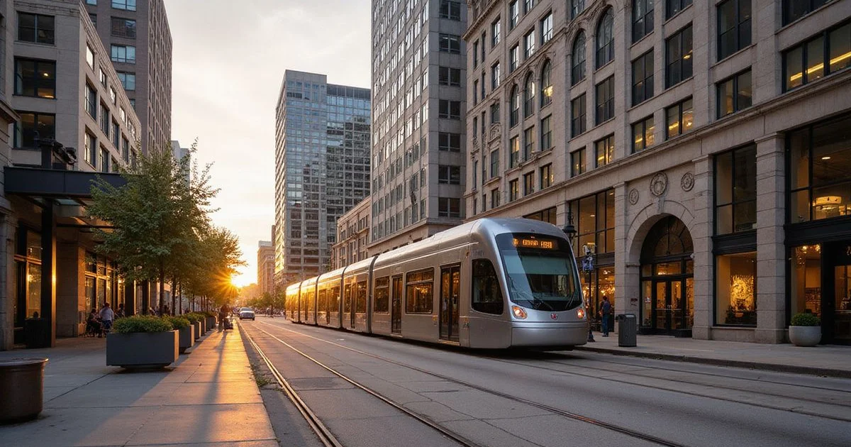
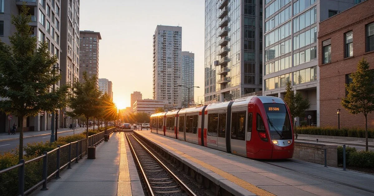
The METRORail Red Line is the backbone of car-light living in Houston. It runs north-south through the corridors where many of the high rises we track are concentrated. This guide lists the neighborhoods it serves, the towers near each, and how to use it for daily life. It is part of our high rises near light rail search.
Stops by Neighborhood
Downtown
The Red Line runs along Main Street through Downtown, with stops including Main Street Square and connections at the Downtown Transit Center area. Nearby towers:
- Commerce Towers (914 Main St): from $2,150, 1–4 bedrooms
- SoDo on Main (1625 Main St): from $1,221
- The Star (1111 Rusk St) and Aris Market Square (409 Travis St): a short walk east of Main
Midtown
The line continues south on Main Street through Midtown. Nearby towers:
- Luminary Residences (3300 Main St): from $1,730, 2 months free (Oct 2026)
- Drewery Place (2850 Fannin St): from $1,360, 8 weeks free
- Elev8 (1801 Smith St): from $1,750, at the Downtown edge
See our Midtown neighborhood page.
Museum District
The Museum District station sits near the museums and Hermann Park. Nearby towers include Boone Manor (from $1,581), Cortland Museum District (from $2,289) and The Heron Museum District (from $1,686).
Texas Medical Center
Stops serving TMC include the TMC Transit Center. Latitude Med Center (1850 Old Main St, from $1,635) is the closest tracked tower to the line in this area.
| Neighborhood | Example towers near the line | Starting rents |
|---|---|---|
| Downtown | Commerce Towers, SoDo on Main | $1,221–$2,150 |
| Midtown | Luminary Residences, Drewery Place | $1,360–$1,730 |
| Museum District | Boone Manor, Cortland, The Heron | $1,581–$2,289 |
| Medical Center | Latitude Med Center | $1,635 |
Source: SmartApartmentData, October 2026.
Walking Distances
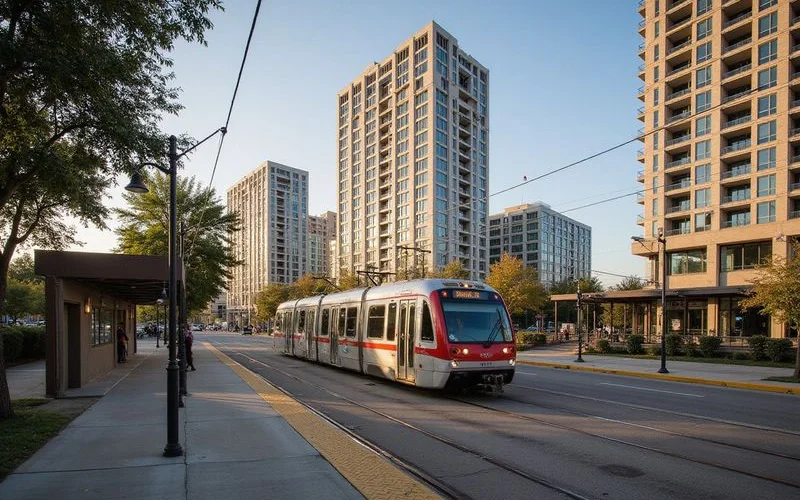
Walking distance to the platform matters more than the neighborhood name. A tower on Main Street is a minute or two from the train. A tower four blocks away is a real walk in August. We share measured walking distances to the nearest stop for every tower on your shortlist rather than estimating.
Check the route, not just the distance
Shade, crosswalks and street crossings change how a walk feels. On your tour, walk from the lobby to the platform.
What the Red Line Does Not Reach
- The Galleria and Uptown: served by Post Oak bus rapid transit, not the Red Line.
- Montrose and River Oaks: no rail; most residents drive or bike.
- The Energy Corridor and Memorial City: car-dependent.
The Purple and Green lines serve the East End and other areas, but they do not change the high rise picture much.
Using the Line for Daily Life
Rail-side residents use the Red Line for commutes to Downtown and TMC, game days, museum trips and Discovery Green events. Pair it with bike share and the Downtown tunnels and many renters drop a car. Read living car-free in Houston.
Everyday Uses Beyond Commuting
- Game days and concerts: Downtown venues near the line.
- Museums and Hermann Park: Museum District station.
- Medical appointments: TMC stops.
- Theater District nights: Downtown stops, then a short walk.
Choosing a Tower by Stop
| If you want | Look near |
|---|---|
| Downtown office access | Main Street stops by Commerce Towers and SoDo on Main |
| Nightlife and dining | Midtown stops near Luminary Residences |
| Parks and quiet | Museum District station near Boone Manor and Cortland |
| Hospital commute | TMC area near Latitude Med Center |
Tips for Daily Riders
Check METRO’s real-time arrival information, carry a reusable fare card or use the mobile app, and plan for heat on summer walks to the platform. A tower with a shaded route to the station is worth extra points on your list.
Get Rail-Side Towers
Tell us where you commute. We will send towers near Red Line stops with measured walking distances and current specials. Start your search.